

The first thing nobody tells you about the Garmin Striker 4 is that it will not catch a fish for you. I say that with some affection, because I have run one for a few seasons now on the small lakes around Kalamazoo County and it has put me on fish. But it did that by showing me water I had been guessing about for twenty years, not by doing anything clever on its own.
Most write-ups on this unit stop at the spec sheet. The display is 3.5 inches diagonal, the housing weighs 8 ounces, it reads to 1,600 feet, and the box is small enough to sit on a seat beside you. All true. None of it tells you whether the thing will help you catch crappie on a Tuesday evening in June. So here is the honest version, including the complaints I would air out at the bait shop counter if you asked me.
The Quick Verdict
A genuinely useful small-water sonar and GPS unit, once you accept a 3.5-inch screen and do the transducer install properly. Buy it for the waypoint map and Clear Vu, not for the display.
Amazon Check Today's Price →Three seasons on a jon boat and it is still the unit I reach for
The Garmin Striker 4 ships with its transducer, runs off your boat battery, and does its best work in water under thirty feet. If that describes your fishing, see what it goes for today.
Amazon Check Today's Price on Amazon →What the Garmin Striker 4 Actually Is
Strip away the marketing and it is a small sonar and GPS unit in a plastic housing, panel mounted or set on a tilt and swivel mount, wired to a boat battery through the included power and data cable. It ships with the transducer. That last part matters more than people give it credit for, because a transducer is the half of the system that actually talks to the water, and buying one separately is where budgets go to die.
You get CHIRP sonar for the standard readings, Clear Vu scanning sonar for a high frequency look at what sits around the boat, and a waypoint map you build yourself as you find brush piles, stumps and dock edges. The interface is a keyed pad with dedicated buttons. No touch screen, no menus nested six deep. Garmin kept that part deliberately simple, and I have never once had to consult the manual mid-lake, which is more than I can say for my trolling motor.
What you do not get is a chart. There is no lake map loaded on it, no contour lines of your home water waiting to be revealed. The map is the one you make. For some anglers that is a deal breaker. For me it turned out to be the most useful thing on the unit.
How I Have Run It on the Water
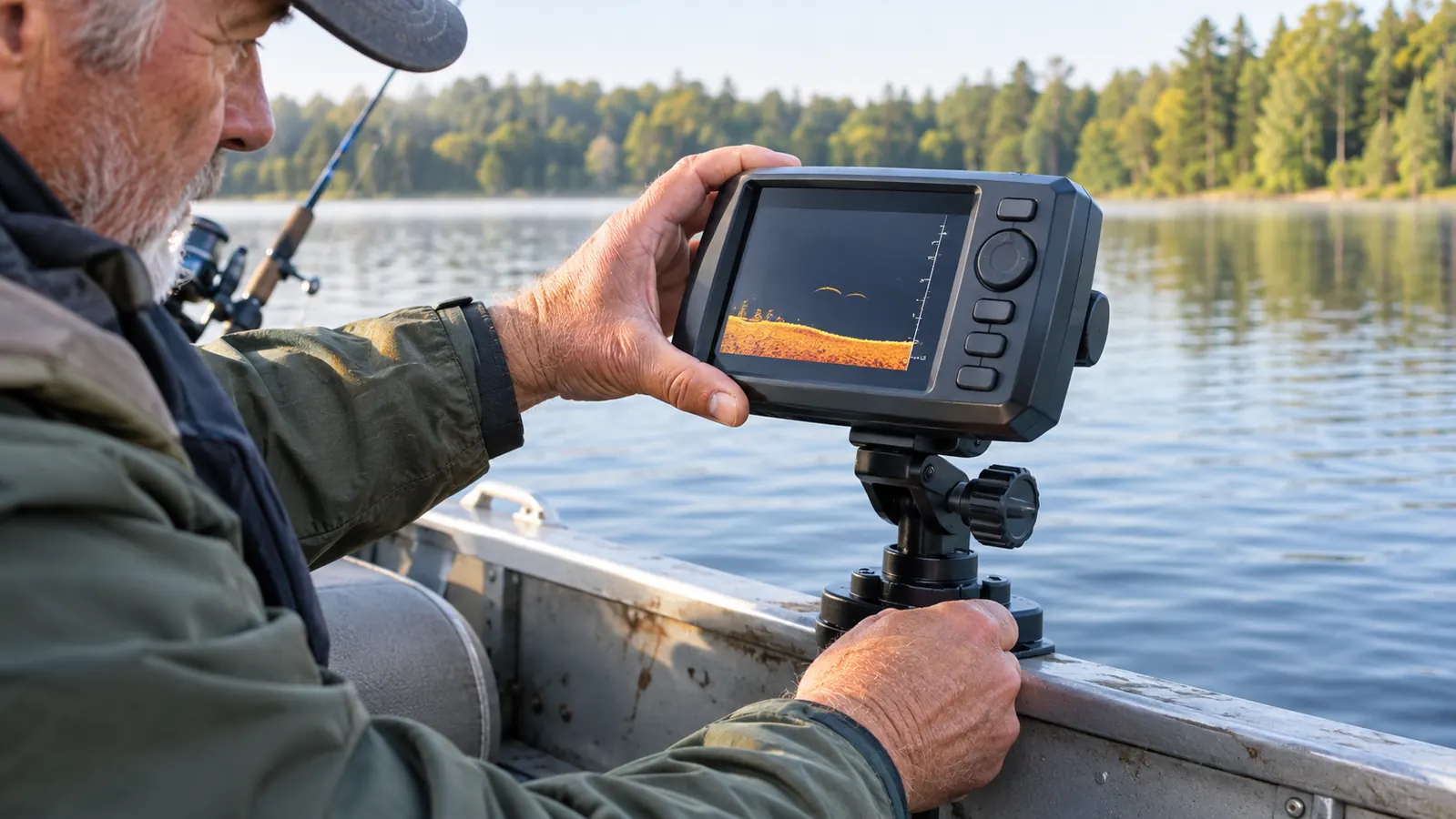
My boat is a 14-foot aluminum jon with a small trolling motor, and the Striker 4 lives on a swivel mount at the middle seat so I can turn it toward the bow when I am casting and toward the stern when I am running the motor. The transducer is on the transom. It is wired to the boat battery through the included cable. Setup took the better part of an afternoon the first time, mostly because I was being fussy about the transducer angle and mostly because I was right to be.
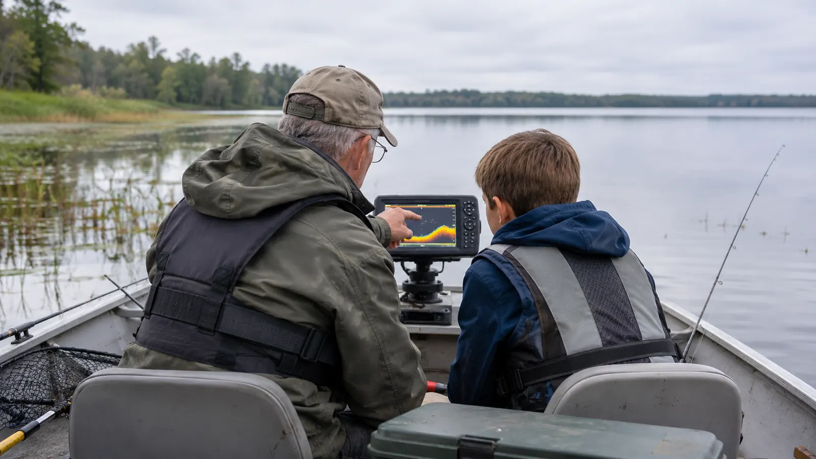
Since then it has been out on the inland lakes for bass and bluegill, on the river for smallmouth, and a handful of mornings off the South Haven piers in spring. On the pier it is really just a depth and structure reader, since the boat stays home. My grandson Tyler, who is 12 and thinks electronics are the best part of fishing, has claimed the job of calling out depth. He is good at it. He is less good at not pressing buttons at random when the bite is slow.
The unit has held up. It gets rained on, it gets bounced on a trailer that has seen better days, and it has not fogged or quit on me. The one year limited warranty is standard and I have not needed to use it. But durability is not where the complaints live. The complaints live in three places, and I will take them one at a time.
The Screen Is Smaller Than the Photos Suggest
3.5 inches diagonal sounds workable in a product photo. In the boat, with the sun coming across the water at a low angle, it is a small window. The actual viewing area is 1.9 by 2.9 inches, and once you split it between sonar and the map you are reading something roughly the size of a deck of cards. Sitting at the middle seat in a jon boat, that is fine. Standing at the bow and turning around to squint at it, less fine.
I solved this by moving it closer and by not splitting the screen unless I am actually navigating to a waypoint. If I am fishing, the whole screen is sonar. If I am running to a marked stump, the whole screen is the map. That one habit made the unit feel twice as big as it is.
Glare is the other half of it. The LCD is readable in direct sun if you get the angle right, and the tilt and swivel mount is what makes that possible. If you bolt it flat to a panel and never touch the angle again, you will spend a certain amount of every trip cursing a washed out screen. Mount it so it moves. That is less a knock on the device than a warning about the install.
What Clear Vu Actually Shows You
Clear Vu is the high frequency scanning sonar, and it is the feature people buy this unit for. Here is the plain version. Standard sonar gives you a cone under the boat and shows fish as arcs. Clear Vu gives you a narrower, more detailed picture that reads closer to a photograph of the bottom, so a brush pile looks like a brush pile instead of a fuzzy blob.
Where it earns its keep for me is structure. On the lakes I fish, the difference between a good evening and a wasted one is usually whether I am sitting on the right edge of a weed line or a sunken log. Clear Vu lets me see the shape of that edge and put the boat on it. I have caught crappie off piles I would have trolled straight past two years ago.
Where it does not earn its keep is speed. At any kind of planing speed the picture goes soft and you are better off with the standard sonar view, which is more forgiving. The other thing nobody mentions is that Clear Vu is not magic in shallow weed cover. In four feet of milfoil it turns into noise, and you are back to reading the standard view and using your eyes. On the river, in the deeper holes, it is excellent. On a weedy flat in July, it is a party trick.
The Transducer Install Is the Real Work
This is the part the listing glosses over. The transducer goes on the transom, and where exactly you put it decides whether the unit works. Too high and you lose the bottom at speed. Too low, or in line with a strake, and you get a rooster tail and turbulence that turns the screen into static. On an aluminum boat with rivets, this takes trial and error.
Plan on two or three trips of adjustment. Mine ended up a quarter inch lower than my first guess and slightly off center from a rivet line, and the difference between the before and after was the difference between a usable picture and a useless one. If you are not comfortable drilling holes below the waterline on your boat, pay somebody who is. It is thirty minutes of work for a shop and a weekend of frustration for the rest of us.
The other install issue is power. It runs off the boat battery through the included power and data cable, which means you are adding a connection and a fuse to a small electrical system that probably was not designed with much spare room. Do it neatly. A bouncing jon boat on a trailer is a great machine for loosening sloppy wiring.
What I Liked
- Clear Vu shows structure clearly enough to position the boat, not just spot fish
- Keyed buttons with dedicated functions, no manual needed on the water
- Ships with the transducer, so there is no second purchase to make it work
- The waypoint map turns every marked stump into a return trip
- Small and light enough to live permanently on a 14-foot jon boat
- Has survived rain, road bounce and a few seasons of hard use
Where It Falls Short
- The 3.5-inch screen is genuinely small once you split it
- No lake charts. The map is only what you build
- Clear Vu gets noisy in shallow weed cover and at planing speed
- Transducer placement takes real trial and error on an aluminum hull
- Screen angle matters a lot in low sun, so the mount has to move
- Marking waypoints is manual, one at a time, with no automatic logging
The Waypoint Map Earned Its Keep
The waypoint map is the feature I ignored for the first month and now use every trip. You mark a brush pile, a stump, a dock corner, the edge of a drop off, and the unit keeps it and lets you navigate back to it. On a lake with no contour map, that is the whole game. I have a string of marks on my home lake now, and half of them came from seeing something on the screen and stopping to save it.
The catch is that marking waypoints is manual and you do it one at a time. There is no automatic logging, no scanning pass that fills in the lake while you fish. That means the first season is a lot of stopping and pressing buttons. The second season is a different lake, because you finally know where the structure sits. If you want a unit that maps the water for you, this is not that unit, and I would rather say so than let you find out in July.
There is a quieter benefit too, and it took me a while to notice it. Because I was stopping to mark things, I was paying attention to what the bottom looked like when a fish hit. That is a habit I did not have before, and it has outlasted any setting I have fiddled with.
The waypoint map is not a chart of the lake. It is a chart of the spots you bothered to learn, and on a small inland lake that is usually enough.
What the Spec Sheet Will Not Tell You
The spec sheet says it reads to 1,600 feet. I fish water that is mostly under twenty feet, so that number is meaningless to me and probably to you. What matters more is that it holds bottom at trolling speed in twelve feet of water without flickering, which it does, and that it locks on quickly when you first power it up in the morning.
The spec sheet also does not tell you that 8 ounces of housing is light enough that a determined wave can spin it on the mount if you have not snugged the knob. It does not tell you that the biggest upgrade in your first month will not be a setting. It will be learning to read arcs and bottom hardness instead of hunting the screen for fish shaped icons.
And it does not tell you that your first two trips will be mostly looking at a screen instead of fishing. That is the honest cost of any sonar. The Striker 4 is simple enough that the cost is two trips and not two months, but it is not zero. Nobody warns you about that, and they should.
Who This Is For
This is for the angler in a small boat or on foot who wants to stop guessing about depth and bottom content. If you fish a handful of inland lakes and a river, keep a jon boat or a kayak, and want sonar plus a waypoint map without a screen that costs more than the boat, this unit does the job. It is also a reasonable first sonar for a kid learning to read water, because the buttons are labeled and the menus are shallow.
It suits the shore and pier angler better than you might expect, though not perfectly. Off the South Haven piers I have used it to read depth and the slope of the bottom running out from the pier, and it told me where the drop was. It will not replace local knowledge. It shortens the learning curve, which is a different thing and still worth something.
Who Should Skip It
Skip it if you want lake contour maps out of the box. Skip it if you fish big water and need to read structure at planing speed, because the small screen and the way Clear Vu behaves at speed will frustrate you. Skip it if you are the kind of person who will not enjoy a transducer install, because that install is not optional and it is not instant.
And skip it if a 3.5-inch screen will drive you up a wall, because on a bright evening it will. This is a good tool with a clear ceiling, and the ceiling is the display. Garmin built a sensible unit and put it behind a small window. If you can live with the window, everything behind it is worth the money.
Do the transducer install once, properly, and this thing earns its spot
Mounted on a swivel so you can angle it out of the sun, with a clean run to the battery, it reads bottom all day and remembers every stump you save. Current price and the full spec list are on the listing.
Amazon See Today's Price on Amazon →